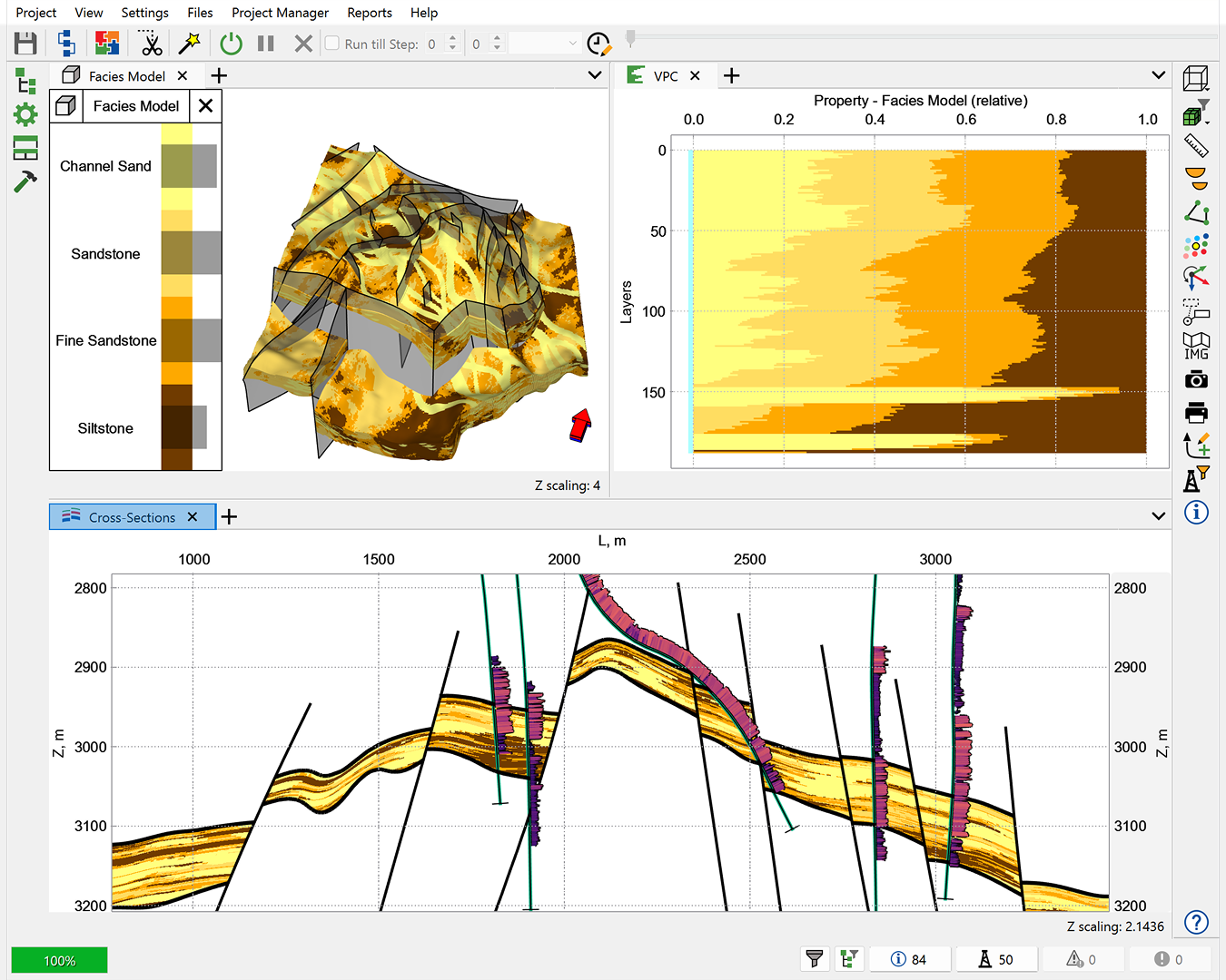
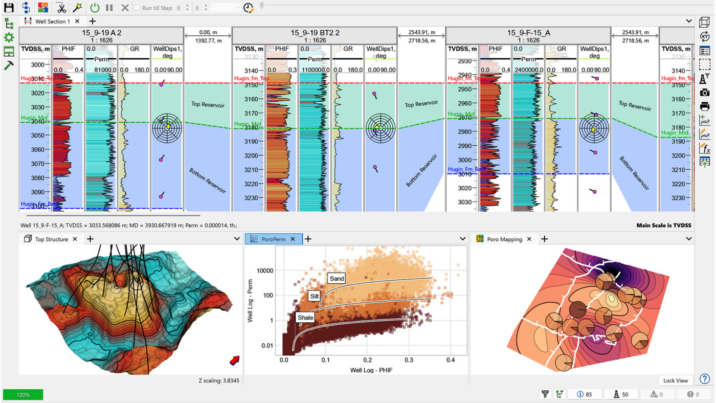
Skip to content

Join our upcoming Technology Summits

Geology Designer

Comprehensive static modelling

tNavigator is the most compatible interface from one module to another, allowing a seamless transition of knowledge

Xiangli Lo
Central Petroleum

Build, Analyze, and Refine Your Subsurface Reservoir Models

Building geology models forms the backbone of any subsurface endeavour. A solid conceptual foundation is essential to transform geological visions into numerical earth models. tNavigator’s Geology Designer takes your concepts and allows you to QC, build and optimise simulation ready grids. 3D geocelluar modelling is essential for characterising the subsurface and we work closely with all industries to ensure the most innovative tools and workflows are available. Whether this be exploring and developing hydrocarbons, conducting carbon capture and Hydrogen storage studies, geothermal resource estimation, wind farm site selection or mining.

Geology Designer supports a wide range of geoscientific applications, from mining operations to evaluating geothermal activity and identifying geohazards in shallow marine environments. This versatile tool provides geoscientists with the flexibility and robust functionality to apply their expertise effectively, offering the precision and adaptability required for complex subsurface work.

  • Data & Interpretation
    Import and integrate diverse datasets and data types (including well log, borehole images and core images). Experience fully embedded tools and features to import, clean, interpret and correlate well log interpretations. Visualize and generate attributes maps and properties for quick look or input into the reservoir model, including embedded machine learning algorithms to fast-track operations such as facies prediction and well marker predictions.
  • Reservoir characterization
    Whether it’s for visualization, volumetrics, target identification & well placement, storage or building a geological modeling that’s fit for purpose, Geology Designer provides the necessary tools to design, construct, integrate and populate all ideas and data together to provide you with an accurate and efficient reservoir model for testing and evaluating subsurface questions.
  • Automation and extension
    Geology Designer supports full workflow automation, allowing seamless updates, model recreation, and scenario testing. The workflow becomes the driver to integrate multiple domains for probabilistic uncertainty analysis and multi-scenario modeling. Additionally, it offers Python-based customization for unique solutions, providing flexibility to tailor workflows to specific needs.

Optional Add-On Modules

Seismic

Whether it’s basin-wide, field-scale, prospect, shallow, or deep, tNavigator’s Seismic module offers powerful capabilities for interpreting 2D and 3D seismic data. It enables geophysicists to build a robust structural framework and make accurate predictions for geologists. The module supports seismic well ties, 2D and 3D data visualization, and interpretation techniques , as well as a comprehensive library of attributes and velocity model creation—ultimately providing geophysicists with a reliable foundation for further analysis. Advanced dynamic analysis tools, including attribute calculations and machine learning-based seismic inversion, offer deeper insights into subsurface conditions

Geosteering

Offers comprehensive tools to support complex well drilling operations. By incorporating real-time geological and technological data, the module enables you to make informed decisions during drilling, reducing operational risks and maximizing reservoir penetration rates. The module’s real-time capabilities allow for quick adjustments to drilling plans based on evolving geological conditions, ensuring high success rates in reaching productive zones

Geomechanics

Compute 1D static geomechanical logs and properties with our comprehensive calculation library. Instantly calculate pore pressure, elastic properties, rock stress, horizontal stress, wellbore stability, and fracture gradients. Streamline your workflow using Geomechanical materials tables to quickly import and populate lab or analogue values across the grid. Seamlessly integrate with fully coupled dynamic geomechanical models to assess fault, well, reservoir, seal, and overburden integrity and surface displacement.

Getting Started

Training Tutorials

Quick help is a click away in tNavigator with the Adviser tool; Integrated fast context search in all manuals and over 150 training tutorials at your finger tips.

Licensing

Easily connect to Rock Flow Dynamics cloud license server, connect to your company’s network license server, or get started with a local standalone license dongle.

User Support

Quick help is a click away in tNavigator with the Adviser tool; Integrated fast context search in all manuals and over 150 training tutorials at your finger tips.

Free Trial

If you’ve never tried tNavigator, we’d love for you to get started with a free trial! See how easy it is to convert your existing models, bring in your data, and build your workflows.